Geography
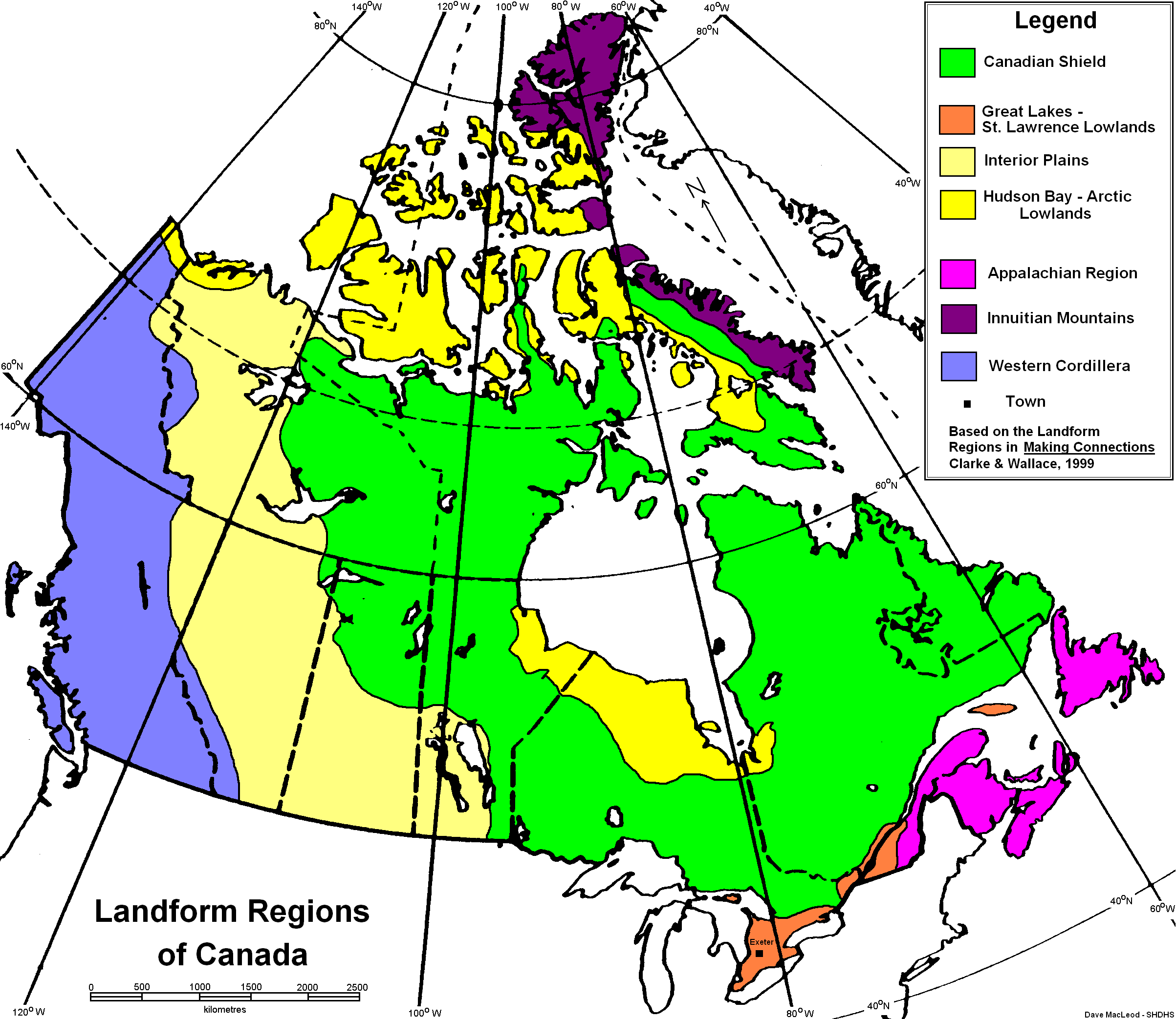
The Arctic region is represented by the dark purple at the top of the map and the yellow just below it
The Artic Land is comprised of Palaeozoic and Mesozoic sedimentary rock, and is mostly flat or rolling terrain. The plains may extend for several kilometers inland form the coast, and are still somewhat covered by glaciers.The continent is now rising after being pushed down by glaciers during previous ice ages. The topography is made from past glaciation and the melting of ice.
Climate
The Arctic is truly a polar climate, in the north, night lasts 24 hours for three to four months and in the summer the sun doesn't set for the same amount of time.The average annual temperature is -20 degrees Celsius in the north and -6 degrees Celsius in the south, however, temperatures can reach as low as -50 degrees Celsius. The annual precipitation is low, with 400mm on southern Baffin Island to less than 100mm on Central Ellesmere Island.
Climate change will effect the RE by reducing sea ice, glaciers retreating and thinning, temperature increasing and preciptation increases.

Iqaluit Climate Graph
Cape Dorset Climate Graph

Hall Beach Climate Graph
Flora and Fauna
In this region, trees are absent and the only vegetation that growa there are dwarf shrubs, forbs, sedges, grasses, mosses and lichens. They have adapted by not needing much precipitation to live, and this region, liquid preciptation is rare.
20 species of land mammals live on the archipelago. An example is the peary caribou, which are smaller and lighter in colour than those in the southern regions. This allows them to blend into snow better and get into small places. There are also muscox, arctic foxes, arctic wolves, arctic hares and polar bears. Walruses, seals and whales, such as the narwhal and beluga can be seen in the ocean. There is also an estimated 700 different species of arthropods in the region!

Narwhal
Human Geography
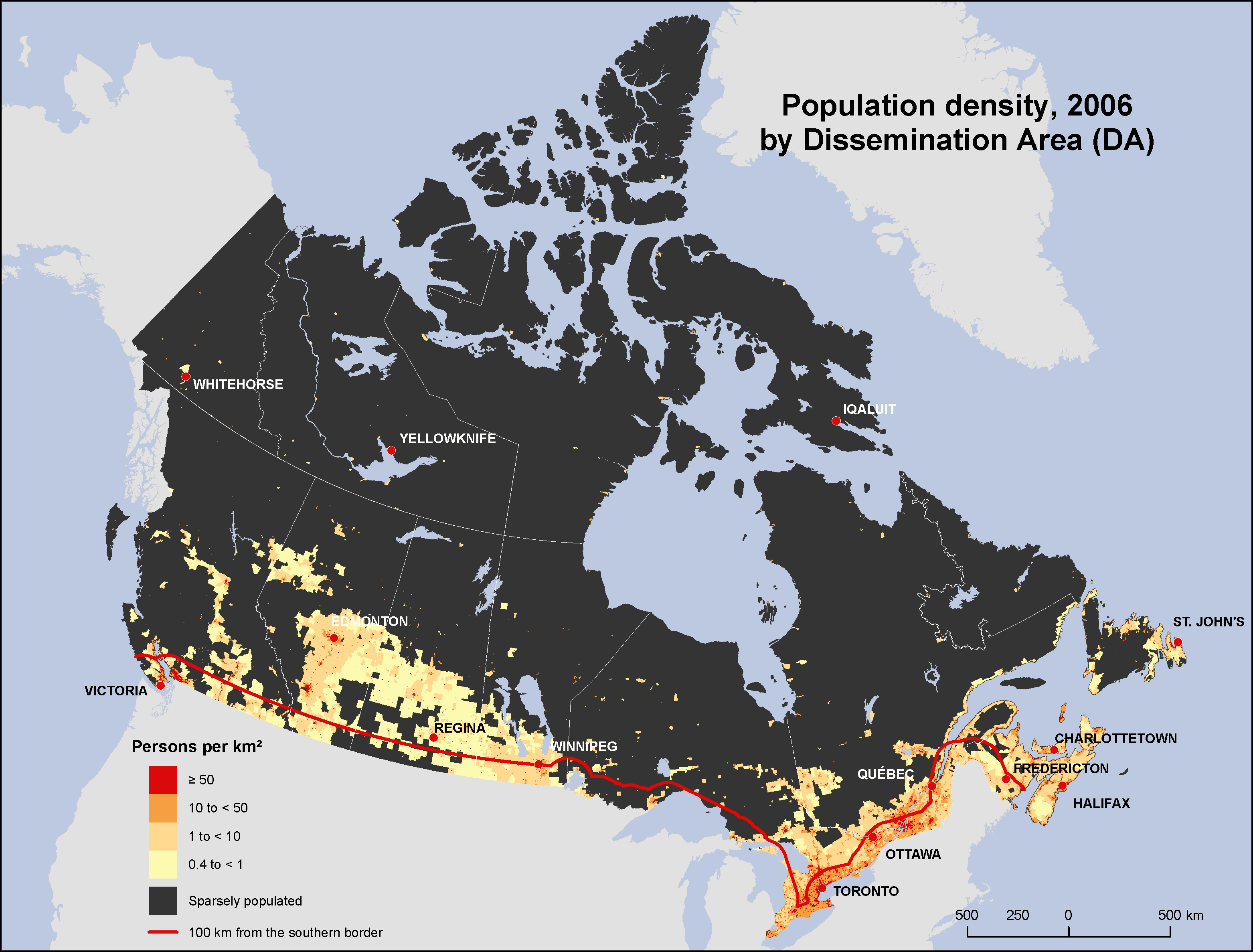
The Arctic is home to around 100 000 Canadians, 80% of which are First Nations. In the northern Arctic there are 1.7 people per 100 square kilometers and in the south there are 2.3 people per square kilometers. Humans use the land to gather things to survive, to mine and extract various resources.
Economy
The past economy of the regoin included whale and seal hunting, the fur trade and mining. Presently the economy is largely, oil mining and diamond mining. The diamond industry is expected to bring 4 million caratsof diamonds a year for seventeen years, and have 830 permanent employees. The harsh, fragile environmetn of the Arctic obstructs there from being any development of resource industries, settlement or economic expansion.
Environmental Concerns
The largest environmental concern is that of global warming. The Arctic is the first region to feel the effects of climate change. They have already felt reduced sea ice, glaciers retreating and thinning, temperature increases and precipitation increases. Climate change is directly sourced from the emission of fossil fuels throughout the world, and the best route to stopping it is to reduce or stop the burning of fuels. Another great way of regulating the use of fossil fuels is to improve the insulation in homes, to improve temperature consistancy and not having to burn more fuel to keep a house warm.
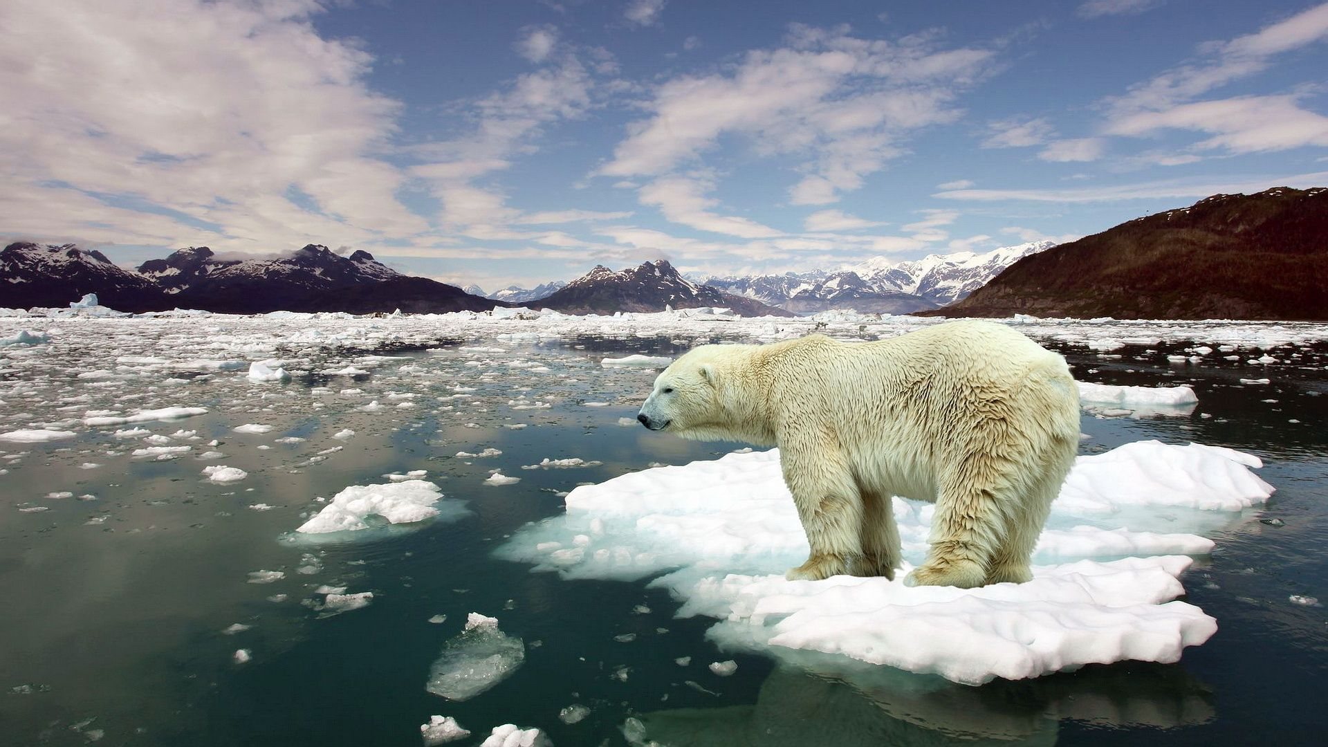
Global warming in the Arctic
Comparison
A similar region is that of Palmer, Antarcica, which is in the arctic biome as well and experiences similar climate. Palmer, Antarctica is a United States research centre, so the only ecomony is that which it bring to the United States.

Temperature at south pole (no data for anywhere other than that)
Iqaluit Climate Graph
No comments:
Post a Comment